|
Day 11
- Our first cloudy day in a long time.
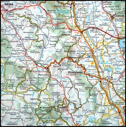
We all rode to Radicofani where some stayed to explore the fortress and others rode
on the highest point in this area, Mt. Amiata. (Map of area, mileage
120 kilometres.) |
|
|
 |
| |
| |
|
 |
|
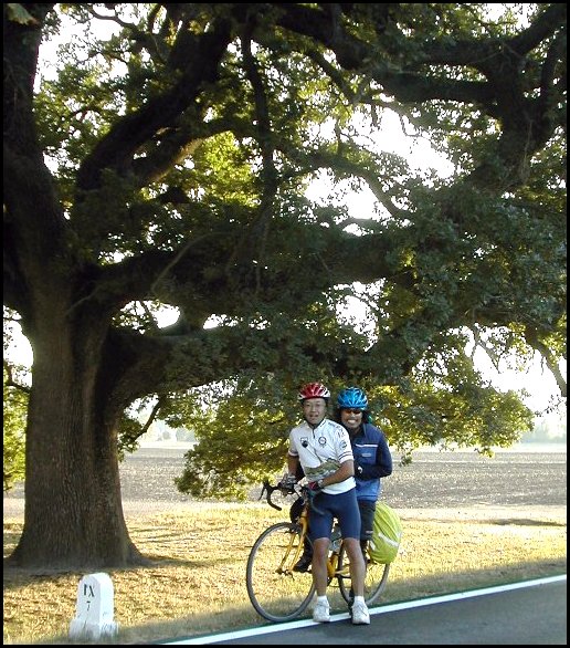
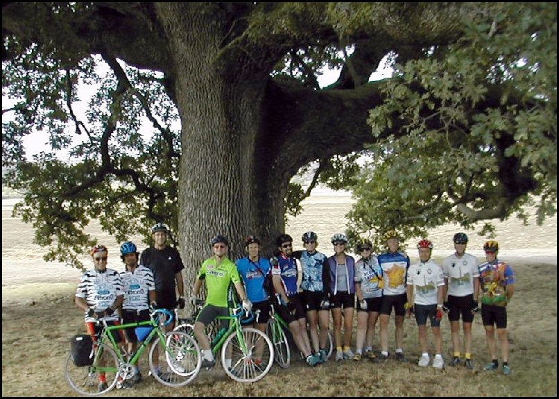
Here's the whole group (less Bob) under the huge oak tree
just down the
road from our place. |
|
|
|
|
|
|
|
 |
|
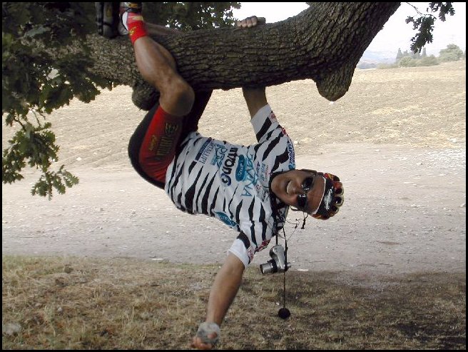
Q. How long can a geologists hang from a tree?
A. We didn't wait to find out. |
|
|
 |
|
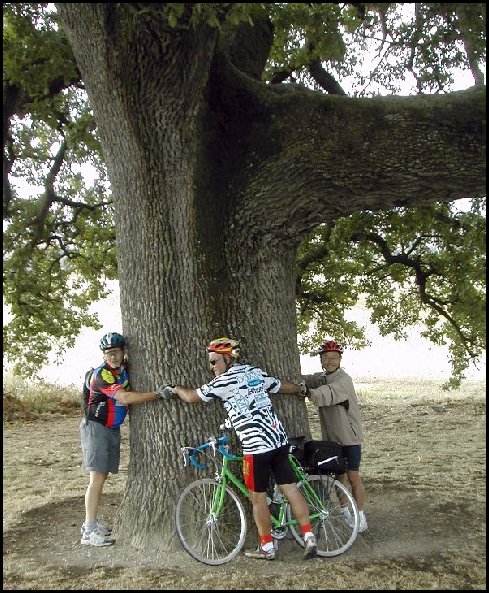
Q. How many geologists does it take to hug a tree?
A. Who cares!
"Tie a yellow geologist 'round the old oak
tree..." |
|
|
|
|
|
|
 |
|
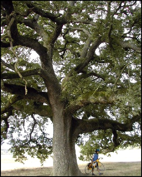
This tree was massive. |
|
 |
|
On the road again. |
|
|
|
|
|
|
|
|
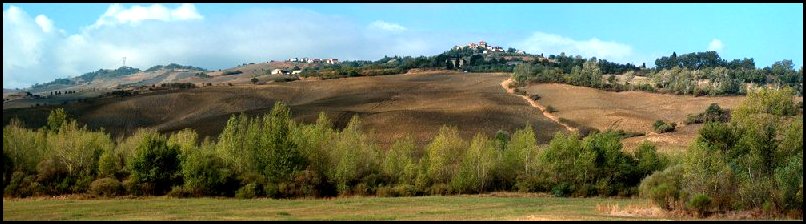
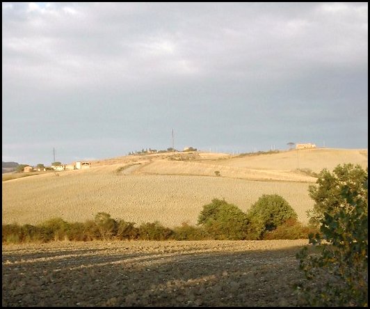
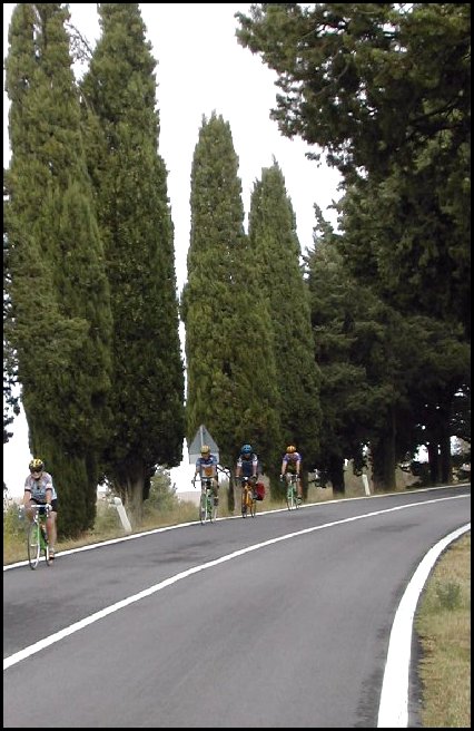
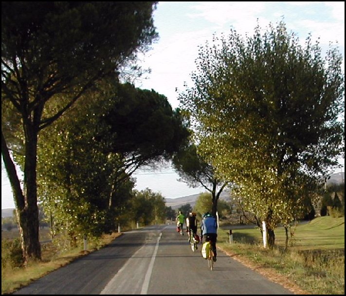
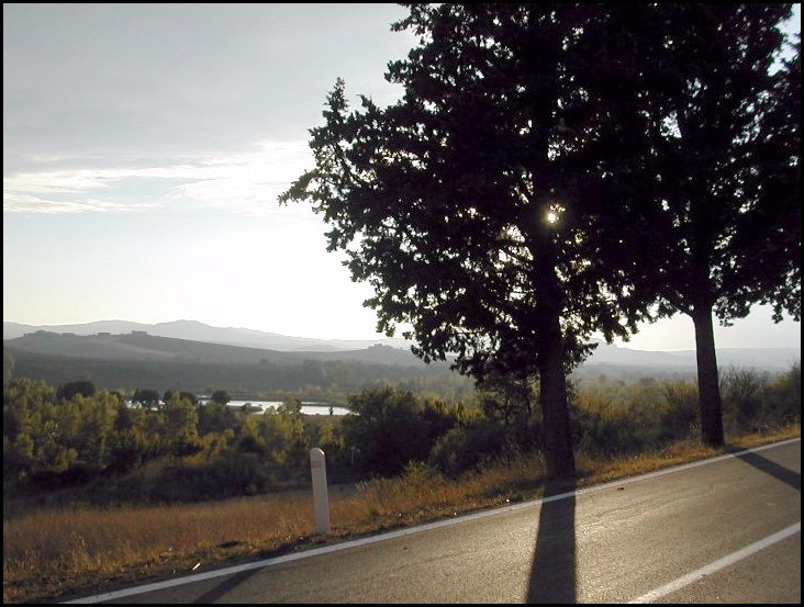
Panoramic views of the country side on the way
up to Radicofani. |
|
|
|
|
|
|
|
|
|
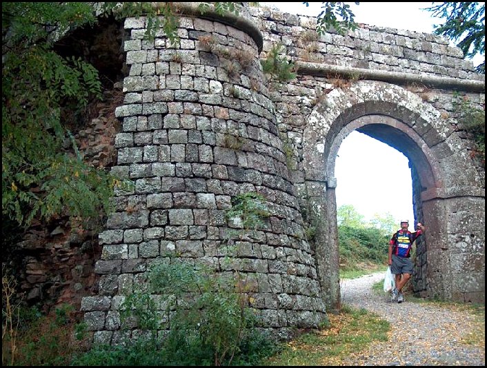
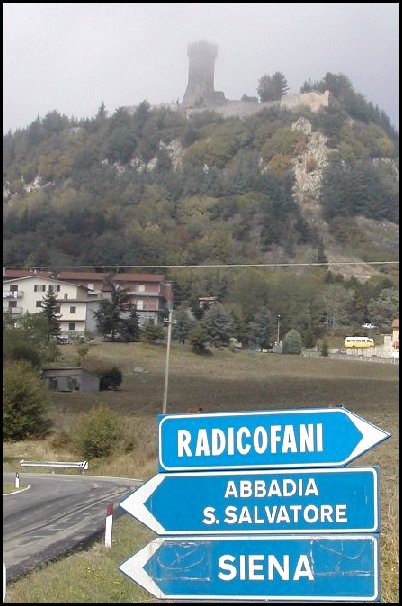
Rocca of Radicofani (783 metres
elevation)
The majestically situated Rocca of Radicofani vies with the Rocca d'Orcia for the title of most imposing
fortress in southern Tuscany. Clamped to a basalt outcrop, it commands the
strategic heights between the Paglia and Orcia valleys. The castle is
identified with one Ghino di Tacco, a fourteenth-century bandit who
features in the writings of both Dante and Boccaccio - the Decameron
tells of Tacco's imprisoning the abbot of Cluny in this fortress, then
curing him of indigestion. |
|
 |
 |
|
|
|
|
|
|
|
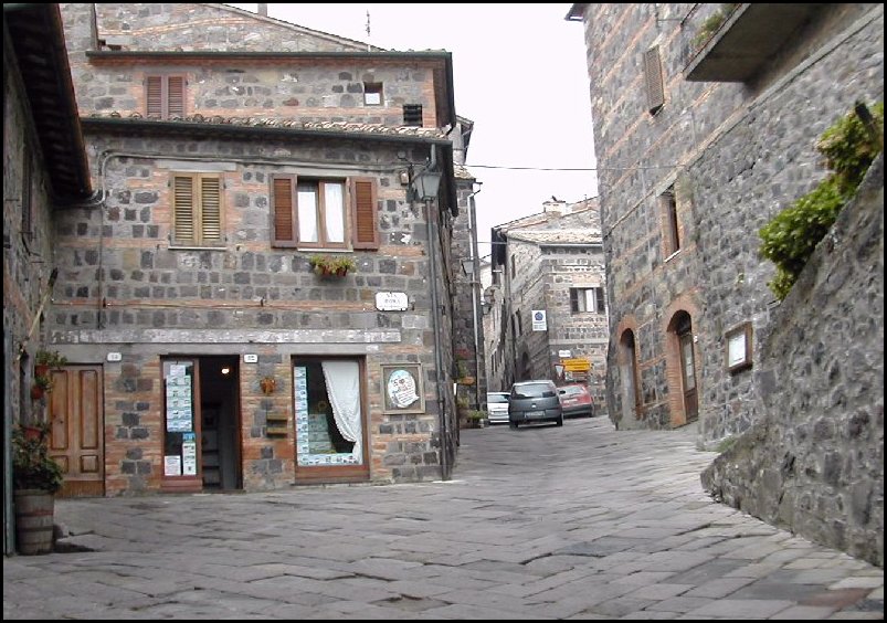
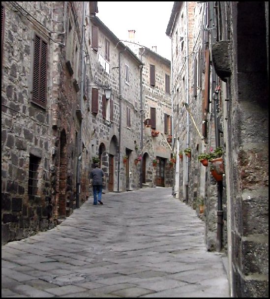
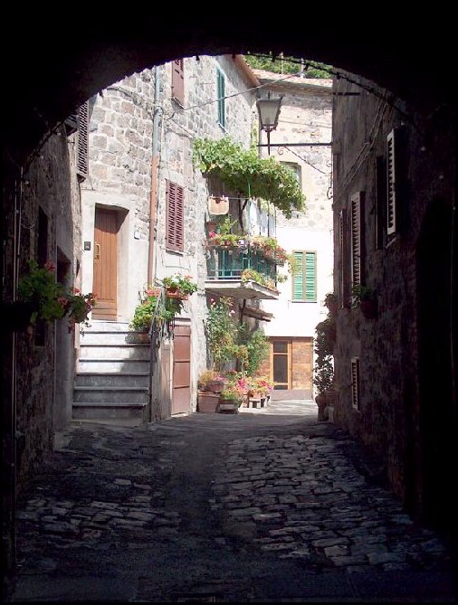
Street scenes... |
|
|
|
|
|
|
|
|
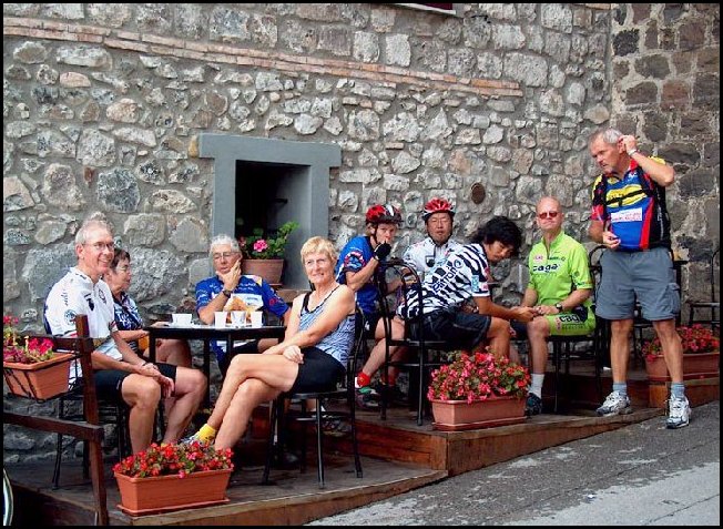 |
Yahoo - it's that time again!
Cappuccino's all around. |
|
|
|
|
|
|
|
|
 |
|
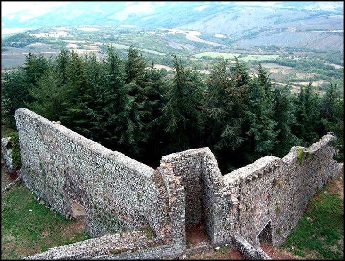
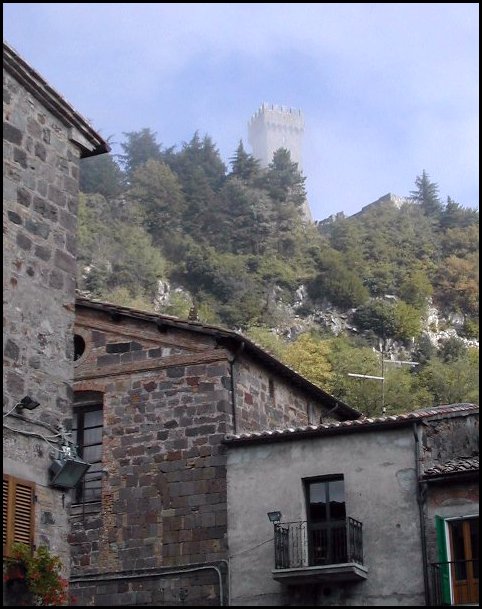
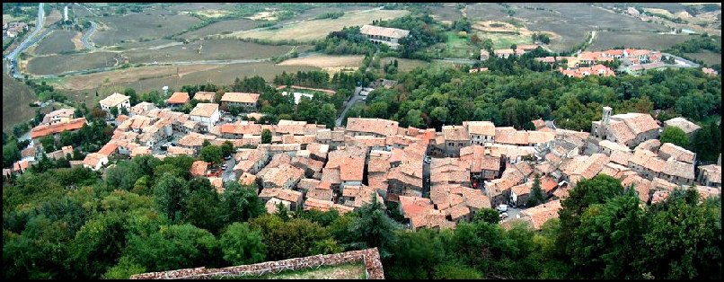
Some of the gang stayed and explored the castle in Radicofani. By that
time the clouds had lifted for awhile and they got great views. |
|
|
| |
| |
|
|
|
|
|
|
|
|
| |
| |
|
 |
|
Looking down on the town from the tower. |
|
|
| |
| |
|
Bruce, Sandy, Keang, Sherman, Doug, Roy and Carol headed on to
Mt. Amiata. |
|
 |
 |
|
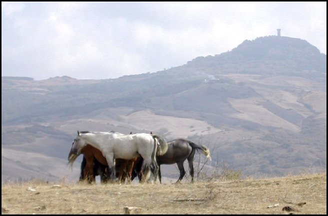
It didn't take long
to get to this vantage point as it was pretty much all down hill.
Radicofani in the distance. |
|
|
| |
| |
|
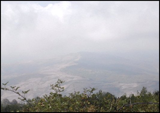 |
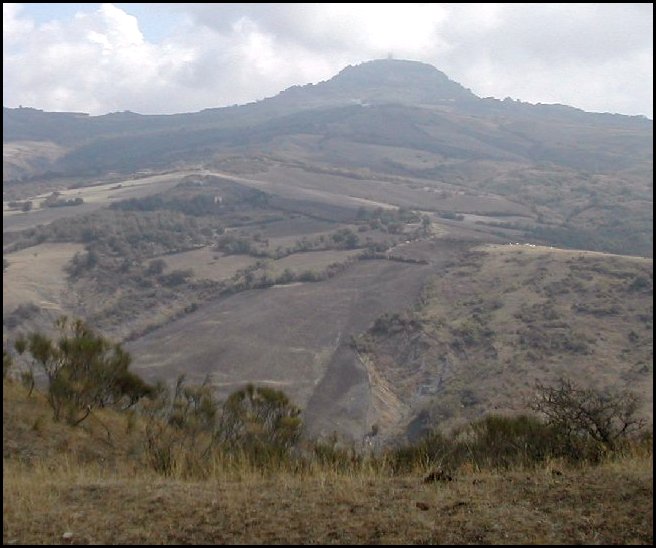
| This is where we are heading to? In hind sight it was a
good thing I couldn't see as I didn't know how much elevation we had yet
to climb. And that was before we took the wrong turn and added an extra 20
km (hilly of course) onto the already long day. |
|
|
|
| |
|
|
|
 |
|
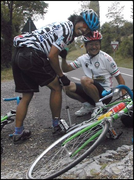
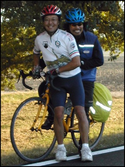
These two are becoming inseparable. |
|
|
 |
|
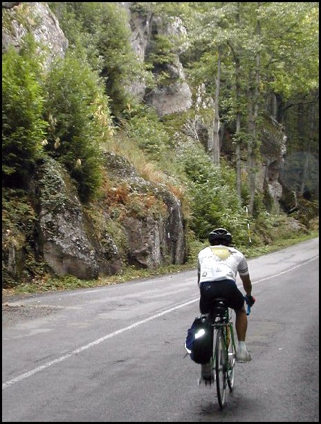
Nice road, too bad it's the wrong direction!
We were so disappointed in having made a wrong turn (twice) there was no thoughts of any
pictures. Although it was quite picturesque. We rode to Campiglia
d'Orcia before turning around. |
|
|
|
What we learned was that you can have all the maps around, but if no one
wants to take the time to read them, we're all to blame. Silly buggers. |
|
| |
|
|
|
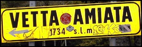
We finally got onto the right road up to the top of
the mountain. It was eight kilometres of grinding away in granny gear up a very windy,
damp, dark road. Again no pictures. I was hurting too much. There was
great thunder activity and the only nice thing about being in such dense
trees is that the rain didn't get us.
We finally made it to the village at the
bottom of the ski hill where we ran into Bruce and Sandy. They were lucky
enough not to get involved in our indecision on (the lack of) map reading, and had ridden
straight to the top. The unfortunate news, for us, was it was still
another four or five kilometres to the top. Roy tried to turn the group
around a couple of times, but without luck. Having come this far it just
didn't seem right to turn around when we were that close. What's a couple
more kilometres when you've already done a hundred! It was a stupid ride (says
Roy) and he was probably right. No time to turn back when we'd already come this far. Right? |
|
 |
|
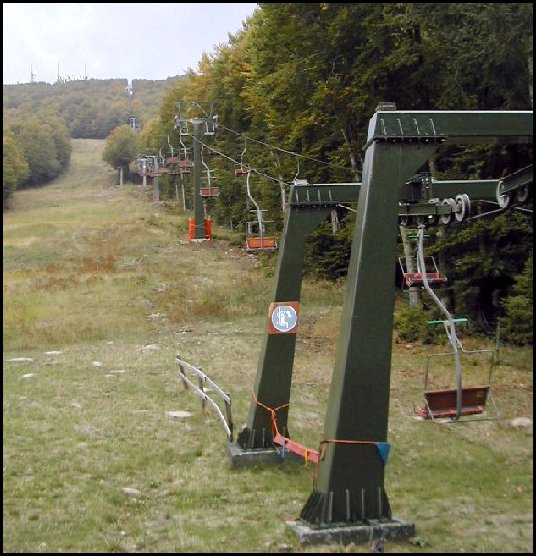
Bottom of the lift. |
|
|
|
| |
| |
|
 |
 |
|
 |
|
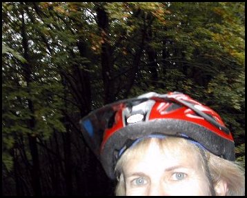
Carol's attempts at self-portraits. |
|
|
| |
|
|
|
 |
|
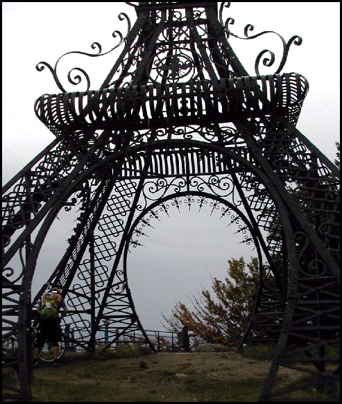
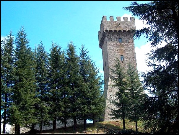
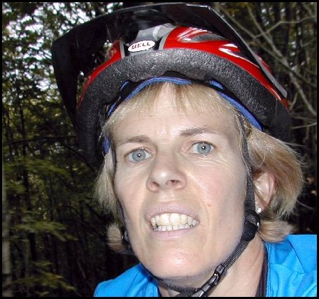
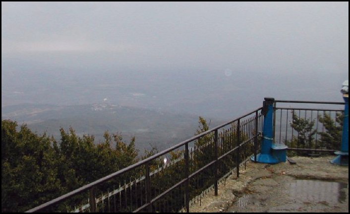
Even though I was totally freezing I had to get some pictures just to
prove that I made it. If you look closely you can see me holding my bike
over my head underneath the tower. |
|
|
|
| |
| |
|
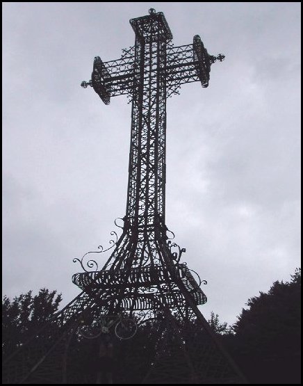
Isn't this a great view?
You'd ride all the way
up this road in the
freezing cold for this
too, wouldn't you? |
|
 |
|
We had to stop a few times on the way down to flex our fingers and try and
move our joints. Sherman, Roy and Carol made a bee-line for a coffee shop
before heading home. |
|
|
| |
| |
|
 |
 |
|
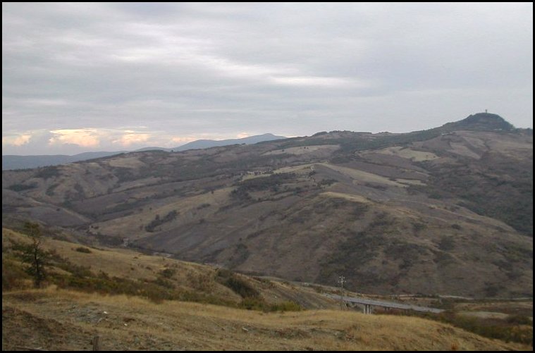
After descending into the valley again the skies started to clear up a bit
and we could see Radicofani in the distance. It's visible from almost
anywhere. |
|
|
| |
|
|
|
It was really quite the ride back to Le Checche. It took us about six hours to
climb the long route up the mountain. We didn't get there till four or
five o'clock. After we warmed up from the chilly mountaintop descent, it
took us less than two hours to get home! There was a lot of vertical to
keep dropping. We must have climbed over a thousand metres. |
|
|
 |
 |
|
On the home stretch. |
|
|
| |
| |
|
|
|
 |
|
The boy's sharing a special moment. |
|
|
| |
| |
|
|
|
 |
|
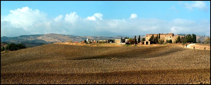
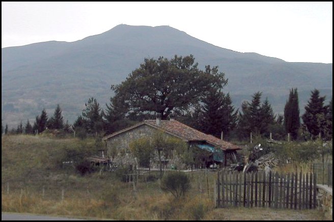
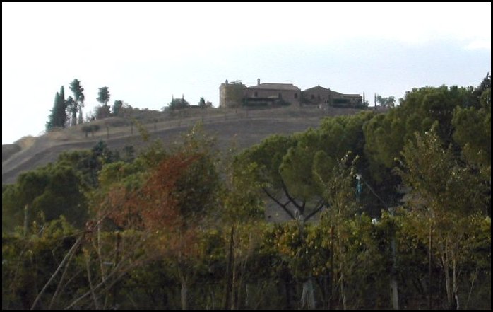
The farm house on the hill behind Le Checche. |
|
|
| |
| |
|
 |
|
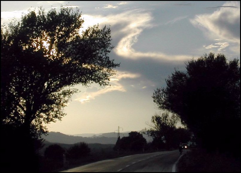
Beautiful skies. |
|
|
| |
| |
|
Tonight was a repeat of Myrna's minestrone as it was so wonderful the
first time around. |
| |
| |
|
Shift into gear for
Day 12 |
|
|
|
|
|
|